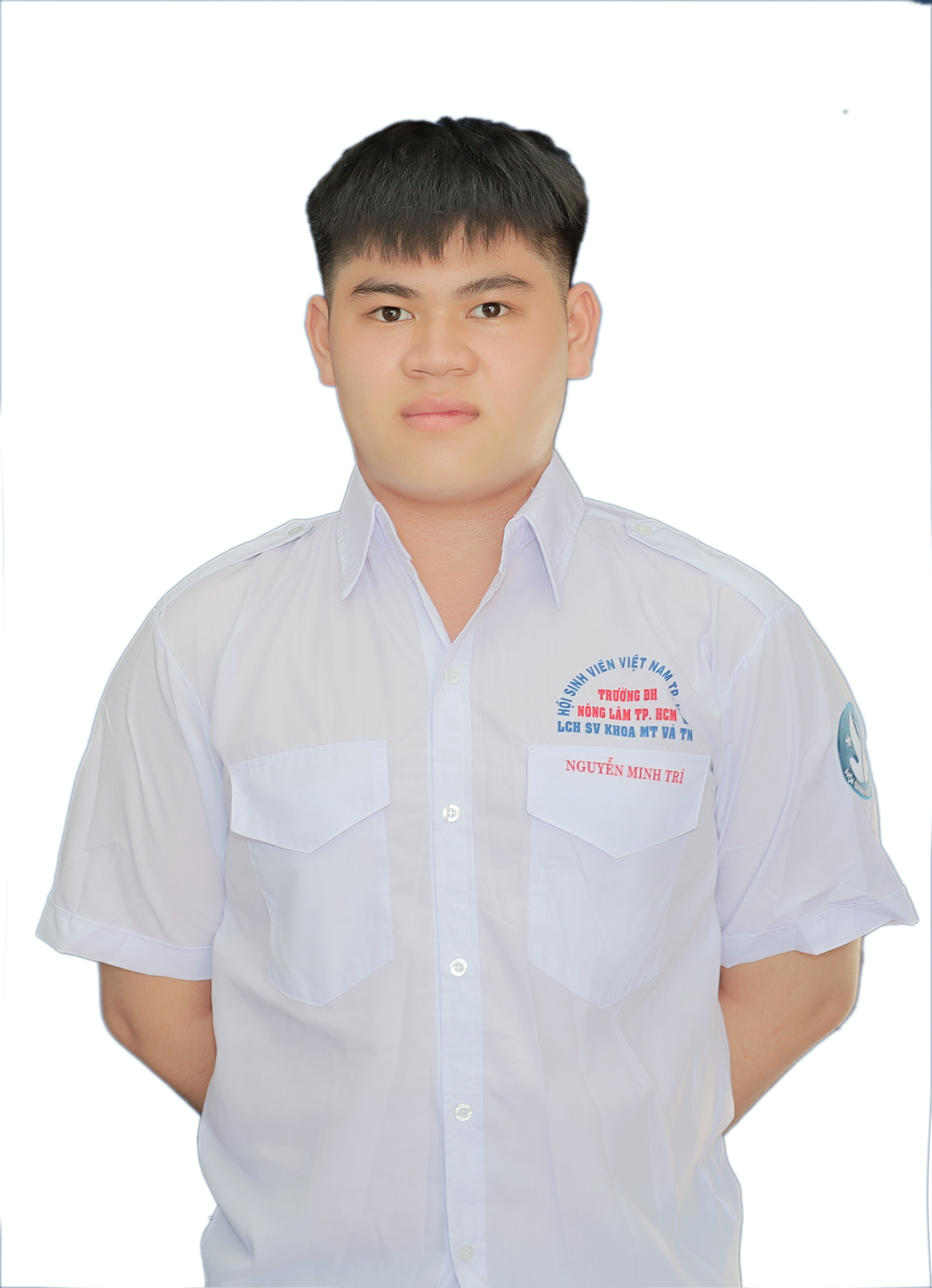
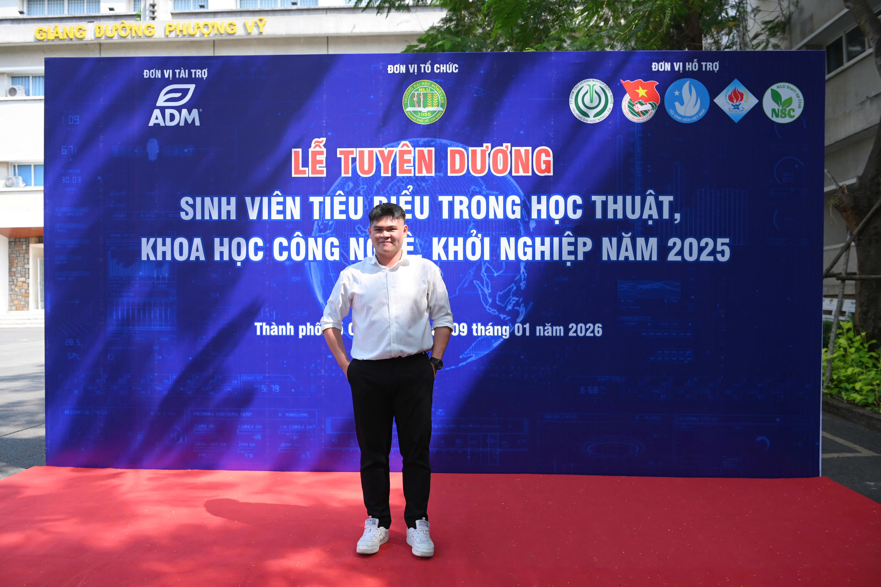
About Me
Decoding spatial data to solve real-world problems.
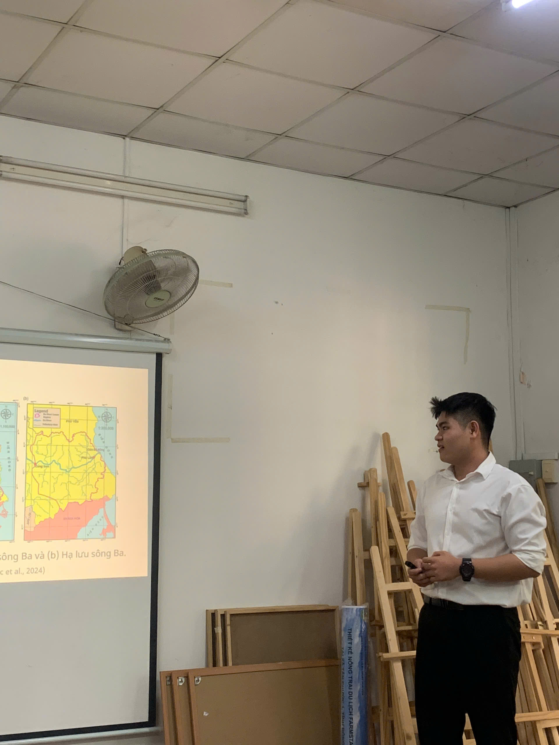
Third-year Information Systems undergraduate with a strong foundation in data and spatial analysis. My ongoing research explores the evaluation and testing of spatial interpolation algorithms to discover the most highly optimized models for field-measured data.
- ArcGIS, QGIS & GEE
- Python, R & Javascript
- MySQL & PostgreSQL
- Remote Sensing & AI
Recent Achievements
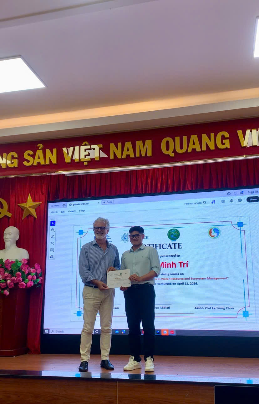
- IMRWG Certificate 2026
- 2nd Prize Student Research 2025
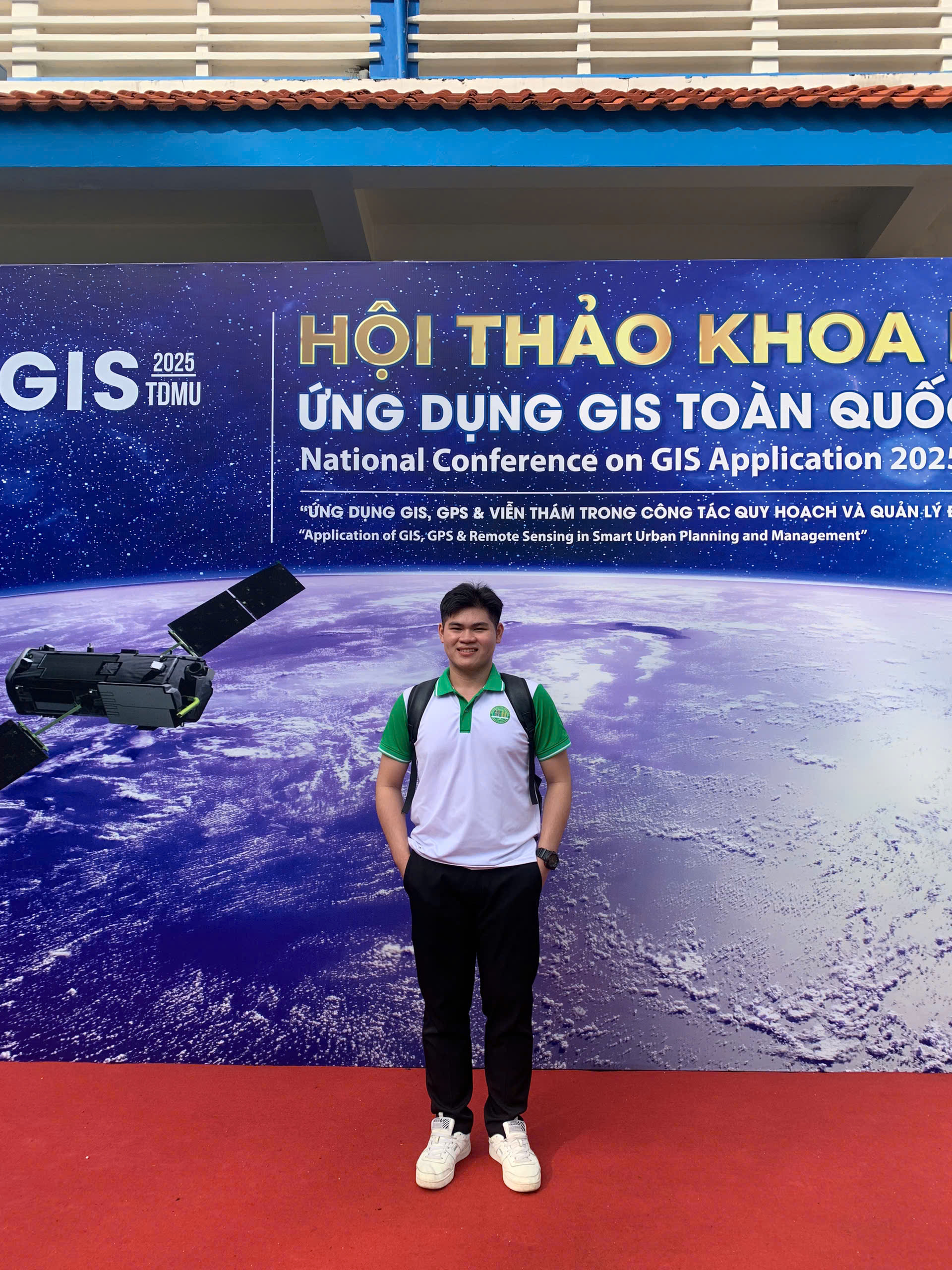
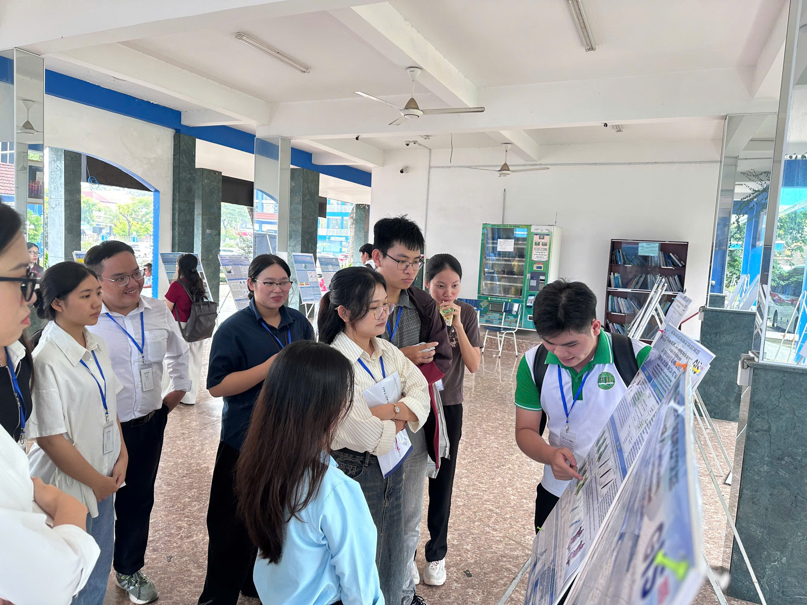
- National GIS Poster 2025